Fruita, Colorado

IMG_7060

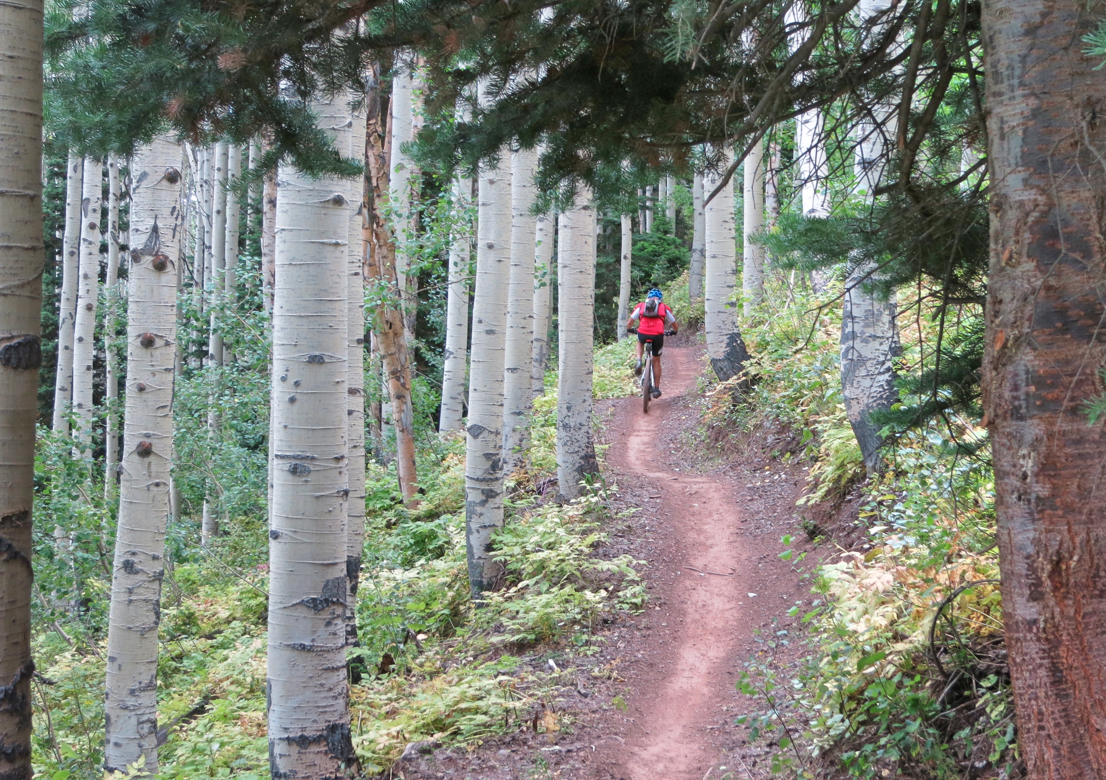
Dinosaurs and mountain biking are the two things that make Fruita so special.  In fact, there is a dinosaur-on-bike sculpture in downtown.

The two main mountain bike trail systems are the Kokopelli Trails above the Colorado River and the 18 Road Trails in the North Fruita Desert.

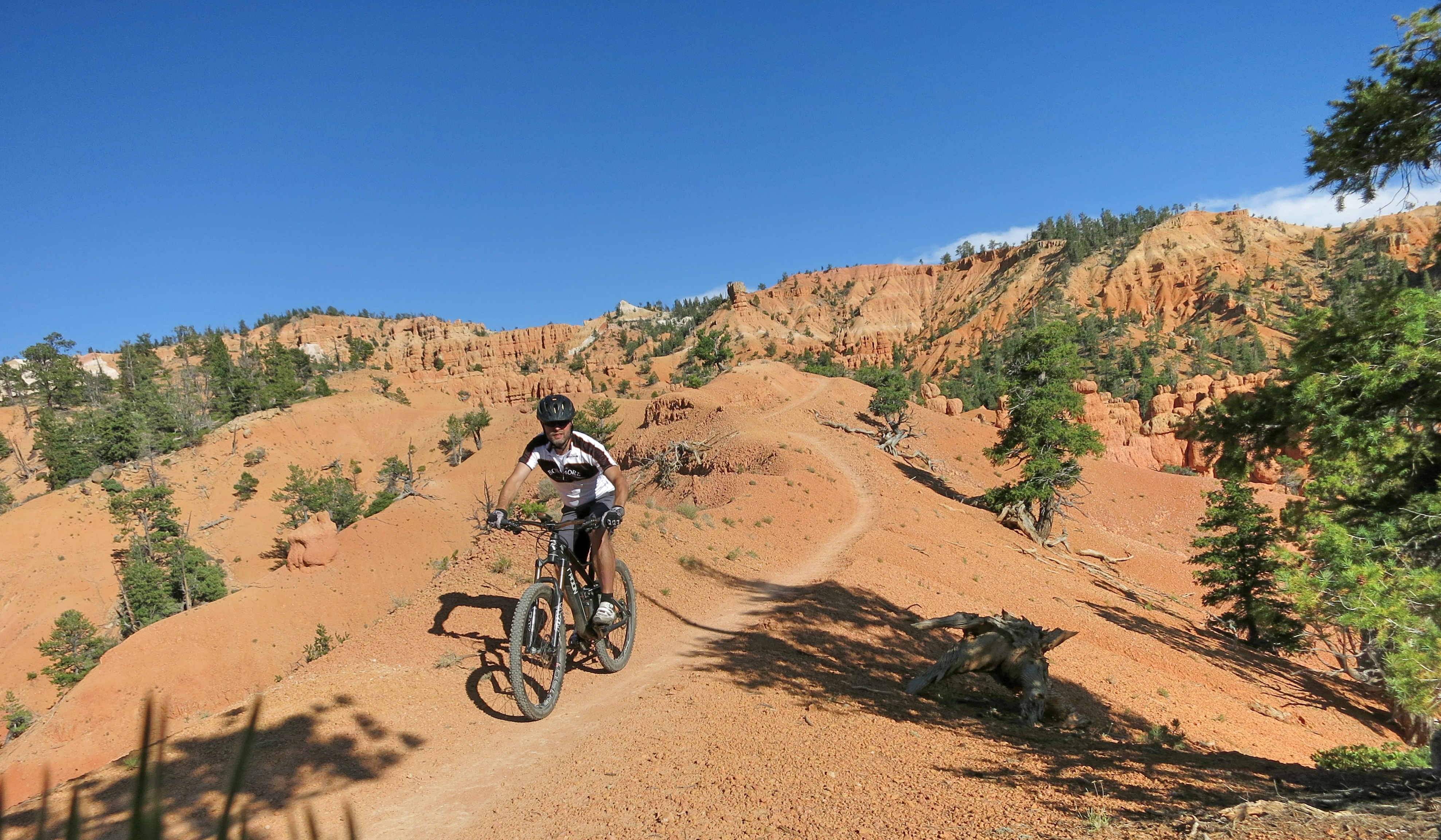
The Kokopelli Trails that consist of several loop trails (Mary’s, Horsethief’s, Wrangler’s) are mostly rocky or sandy and quite technical in some spots.  The trail down to the Horsethief loop in particular, is where you better carry the bike (which can be still challenging and painful, as I can tell from own experience).  The ride at the edge of cliffs is awesome due to the spectacular views.  Either way you go, there are rock steps to go up or down.  As I struggled to overcome some of the rock steps I couldn’t get into the flow in some sections.  All in all, the Kokopelli Trails offer a great and challenging experience.

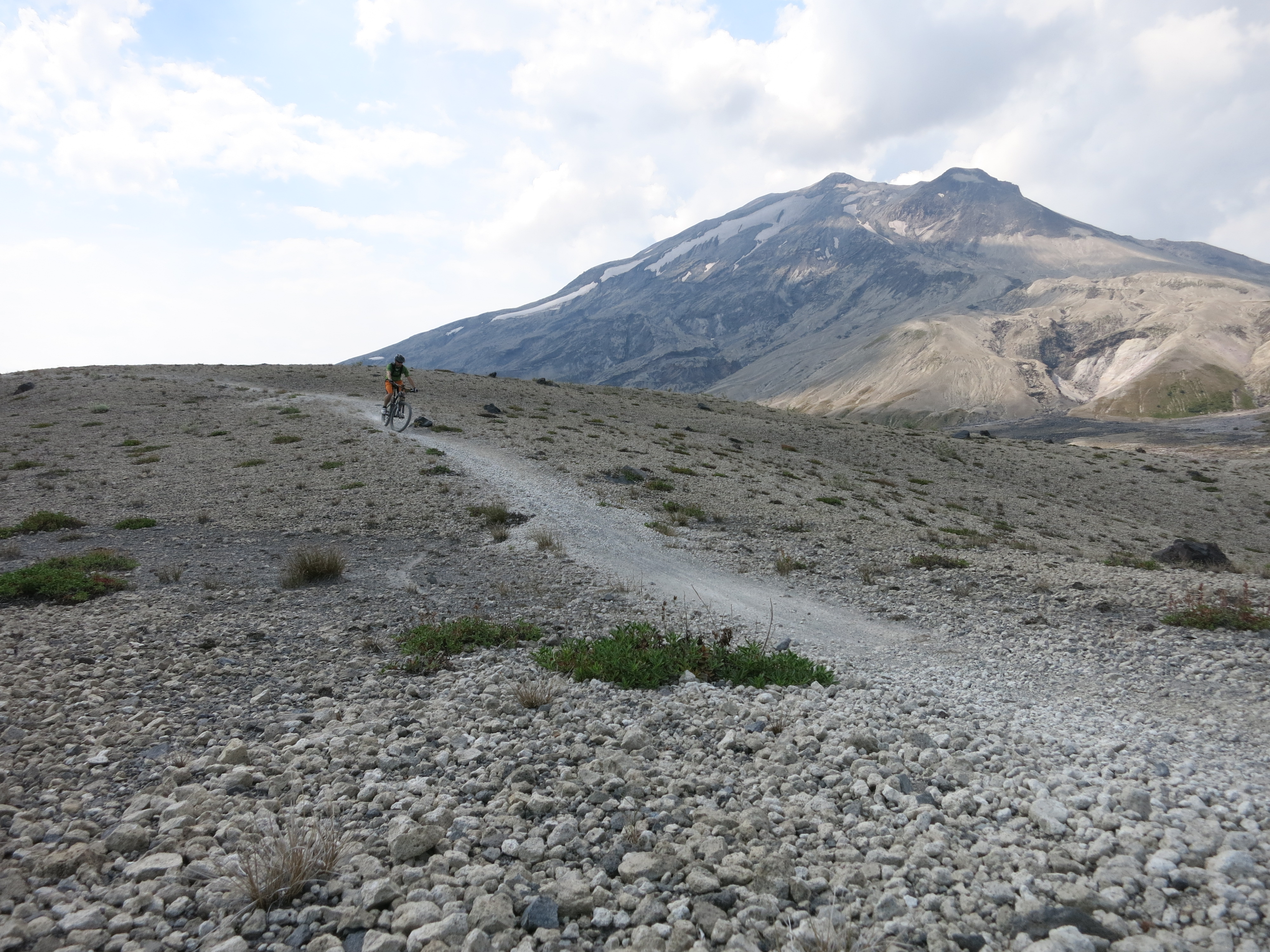
The 18 Road trails on the opposite side of town are quite different.  The lunarlike landscape, but as well, the smooth and zippy trails are fantastic.  The Prime Cut trail is the best uphill trail to access most other trails, e.g. Zippity, PBR, Chutes & Ladders, etc.

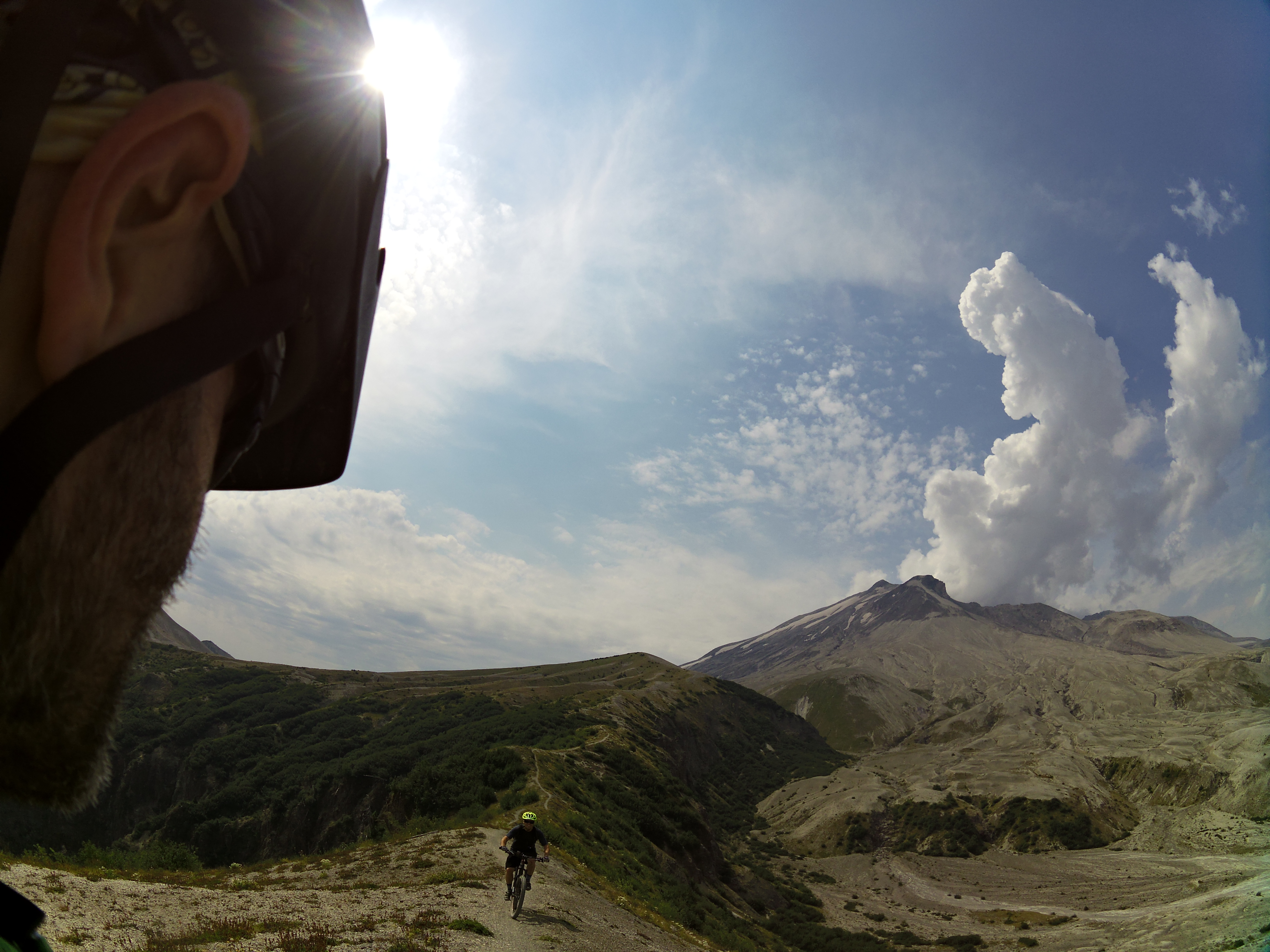
After going down the fast and smooth PBR Trail with some jumps and berms, we went up Prime Cut again to hit Zippity Do Da via Frontside Trail.   What an outstanding ride!  Zippy and fun on Frontside and then the smooth ride up and down the ridge in a peculiar landscape.  Stunning and awesome. The double loop added up to 20 km and much more pictures that we took during the ride.

Salt Lake City, Utah

Bermride

There are not many large cities in which you can start a good, challenging trail ride in town.  Starting at the Popperton Park in the northwest of the city, you take the Bonneville Shoreline Trail that climbs up to the hills north of Salt Lake City.  Then the trail runs alongside the hills and offers great views.  In a turn to the left the Bobsled Trail turns off left down the hill in an old creek bed (and is easily missed).  The further you get down on Bobsled the better the flow and the bigger the berms.  In the lower part of Bobsled there are optional lines with jumps and drops that connect back to the trail.  Some of the jumps let you shoot in to the air over old, rusty cars, creeks or up a berm.  Serious fun.

Park City, Utah

BirchGallery

Park City is a ski town, but in the summer it turns into a great spot for mountain biking.  There are more than 350 miles of trails for non-motorized use that want to be explored on fat tires.

I rode the IMBA Epic loop that combines various trails of Park City and neighbouring resorts.  It is over 26 miles (45 km) and you accumulate more than 3,600 feet (1250 m) of elevation gain.  Perhaps, my breakfast wasn’t big enough… my energy level was fairly low after the initial climb.  That climb after the start winds up through birch forests and lifts you up to an altitude of 3000 meters and makes your lungs and legs burn.   After the long climb you ride along the ridge with some ascents and descents until the downhill part of the ride starts.

As short ride before breakfast I went up the Spiro Trail and down the Crescent Mine Grade.  The ride was short (7 km), but fun, because the Crescent becomes a sort of giant slalom in the lower section.

Thunder Mountain Trail, Utah (nearby Bryce Canyon)

ThunderMountain1

The Bryce Canyon Nation Park is spectacular.  On the close by Thunder Mountain Trail you ride through a similarly stunning landscape with red sandstone pillars and hoodoos.  When I was riding across the one of the ridges my senses just got overwhelmed by the views and the effort of keeping the balance on the exposed trail with wind gusts.

The trail is mostly smooth with packed sand and gravel surface and can be done as a loop or as out back.  As a loop it is best done in clockwise direction, so a part of the climb is on a paved bike path from the Red Rock Visitor Center and on a forest road that ends on the Coyote Hollow Parking Lot.  Because of the scenery, I recommend to ride the trail as out and back starting from the lower trailhead.  Thus, you can enjoy the stunning views from different angles and have fun on the downhill with some demanding steep switchbacks.  If you are in the Bryce Canyon area this trail is an absolute must.

Tahoe Rim Trail & Flume Trail, Nevada

IMG_6249

The Tahoe Rim & Flume Trail is a legendary MTB-ride through fascinating nature with stunning views.  It is best done as shuttle ride starting at Tahoe Meadows on the Tahoe Rim Trail (shuttle services are available in Incline Village).

The trails are mostly smooth and easy, but the rocks and boulders add spice, particularly on the TRT.  Jumping down boulders is fun, but in the uphill sections the rocks cause some challenges.  Perhaps the biggest challenge on the Flume Trail is to keep the eyes on the trail despite the stunning views.

The Tahoe Rim Trail circles the Lake Tahoe but not the entire trail is open for bikes. The part of the TRT in this ride is open to bikes only on even numbered days and quite some traffic (hikers and mountain bikers) should be expected during the summer months.

I loved the ride on the Rim Trail with all the rock steps up and down providing little kicks to the smooth trail.  The ride on the Flume Trail was to me a sort of nature theatre.  The lower half of the Flume Trail and the section around Marlette Lake is on dual-track and less exciting.  Altogether the 40 km / 25 miles long ride is experience no mountain biker should miss.


McKenzie River Trail, Oregon

IMG_6067

The McKenzie River Trail is usually found at the top in the rankings of the best MTB trails.  For good reason.  It is a 40 km (25 miles) singletrack trail following a roaring mountain stream through pristine nature across lava flows and lush old grown forest. Ideally, it is done as a shuttle ride.

It was my 4th time that I did the MRT and it was still a fascinating experience.  At the beginning I stayed on the western side of Clear Lake.  The trail there is much smoother than the lava rock strewn trail on the eastern side.  I wanted to avoid flat tires from the sharp rocks and save some energy, as I knew from my previous rides that it is challenging to keep up the concentration level for the whole distance. The MRT requires precise steering to manoeuver around the lava rocks and the big roots of giant trees.

The first half is technically more demanding, particularly in the old lava flow areas and in the proximity of the waterfalls.   The McKenzie River suddenly disappears for quite a while and continues subterranean in lava tubes.  After all that river roaring I found the silence amazing.  Even more amazing is the azure-blue pool where the water reappears.

After the Trail Bridge Campground the trail is less technical and faster. However, the MRT might come up with a little surprise after the next turn…

Portlandia – Mountain Biking in the Portland (OR) Area

Portland itself is not exactly a mountain biking mecca, however, the Rose City is somehow bike savvy.  A good example to underline this is the Bridge Pedal event with all bridges are closed down for motorized traffic.  And I have to admit that I am somewhat biased, as I still feel at home in Portland.

PDXbridgepedal

Portland has the largest park in the US within the city limits, however, mountain biking is not allowed in Forest Park with the exception of some rather boring fire roads.  So, Portlanders have to drive minimum 30 – 90 minutes to get to the really good mountain biking spots.  There are magnificent trails in the Cascade Range around Hood River and Mt. Hood and in the west in the Coast Range  but as well northbound e.g. in the Mt. Saint Helens area.

IMG_5881

IMG_5843

The Sandy Ridge Trail System is located in the foothills of Mt. Hood just a few miles east of Sandy.  The trails are purpose built and offer lots of fun with countless berms and jumps.  The uphill is an easy spinning workout on a paved road.  After an elevation gain of about 500 meters there are various trail options with different skill levels, but all with great flow and fun.

The “Follow the Leader” trail is rated double diamond and has quite some challenges and rough rocky sections in the first half.  The second half has more flow and several bumps that are good for some airtime.

IMG_5714

The Ape Canyon Trail up to the Plains of Abraham on Mount Saint Helens is a unique experience due to its special history.  Mt. Saint Helens is the volcano that errupted in 1980 and literally blew up its top 400 meters.  A part of the peak came down as pumice and ash and formed the Plains of Abraham – a lunarlike landscape.  It is one of my favorite rides because of the breathtaking landscape and views and the fun surfing down the pumice and zipping down the flowy singletrack trail.  From the trailhead near Lava Canyon the ride starts with strenous uphill through a stretch of old grown forest that has survived the erruption while mud and lava flows to left and right have taken away any other vegetation.  At the top of the trail spectacular views are waiting and the ride across the Plains of Abraham begins.  After half circling the Mt. Saint Helens crater to Windy Ridge there is either the option to continue down to Smith Creek for an epic loop or to turn around and enjoy the Ape Canyon Trail as a zippy downhill.

IMG_5724

IMG_5751

VIRB Picture