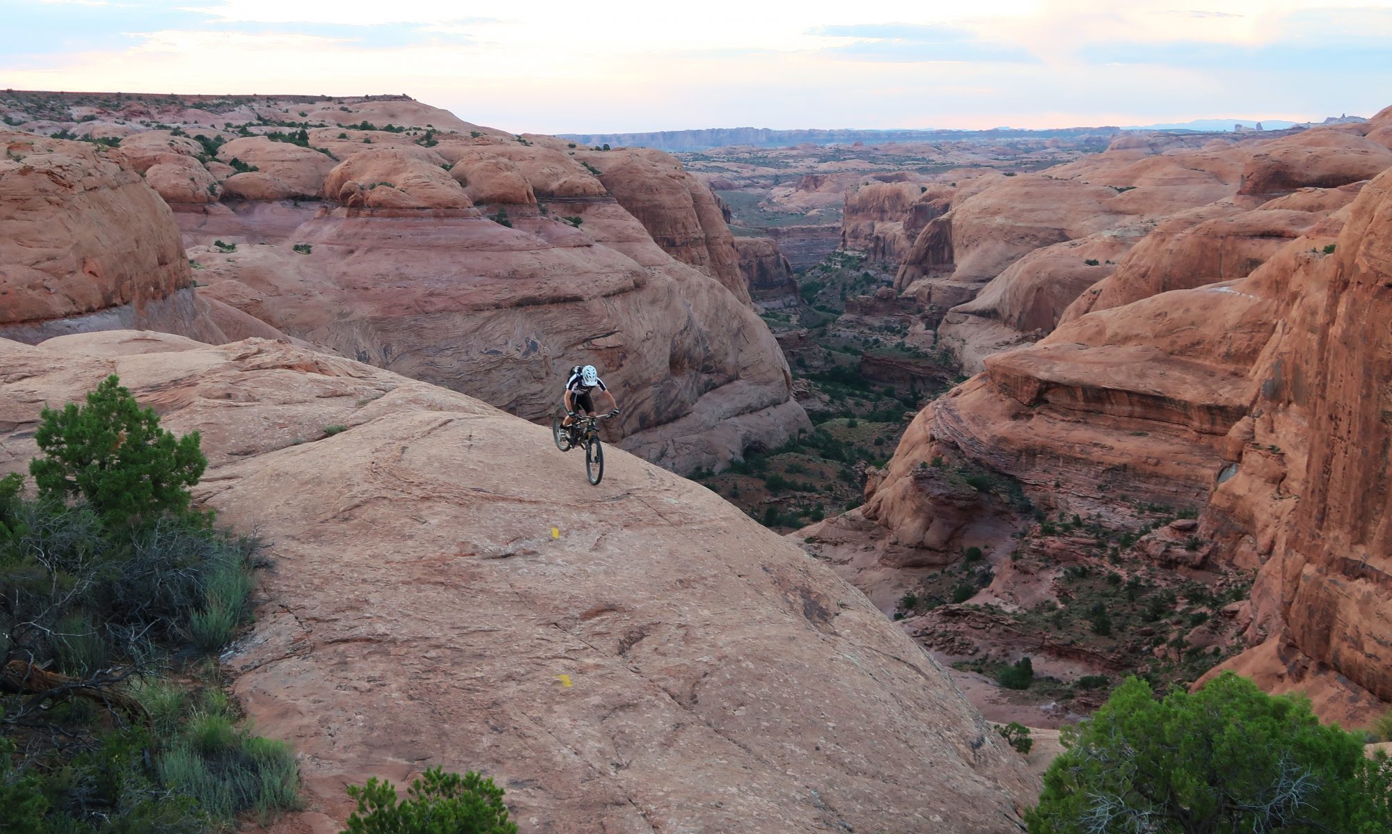
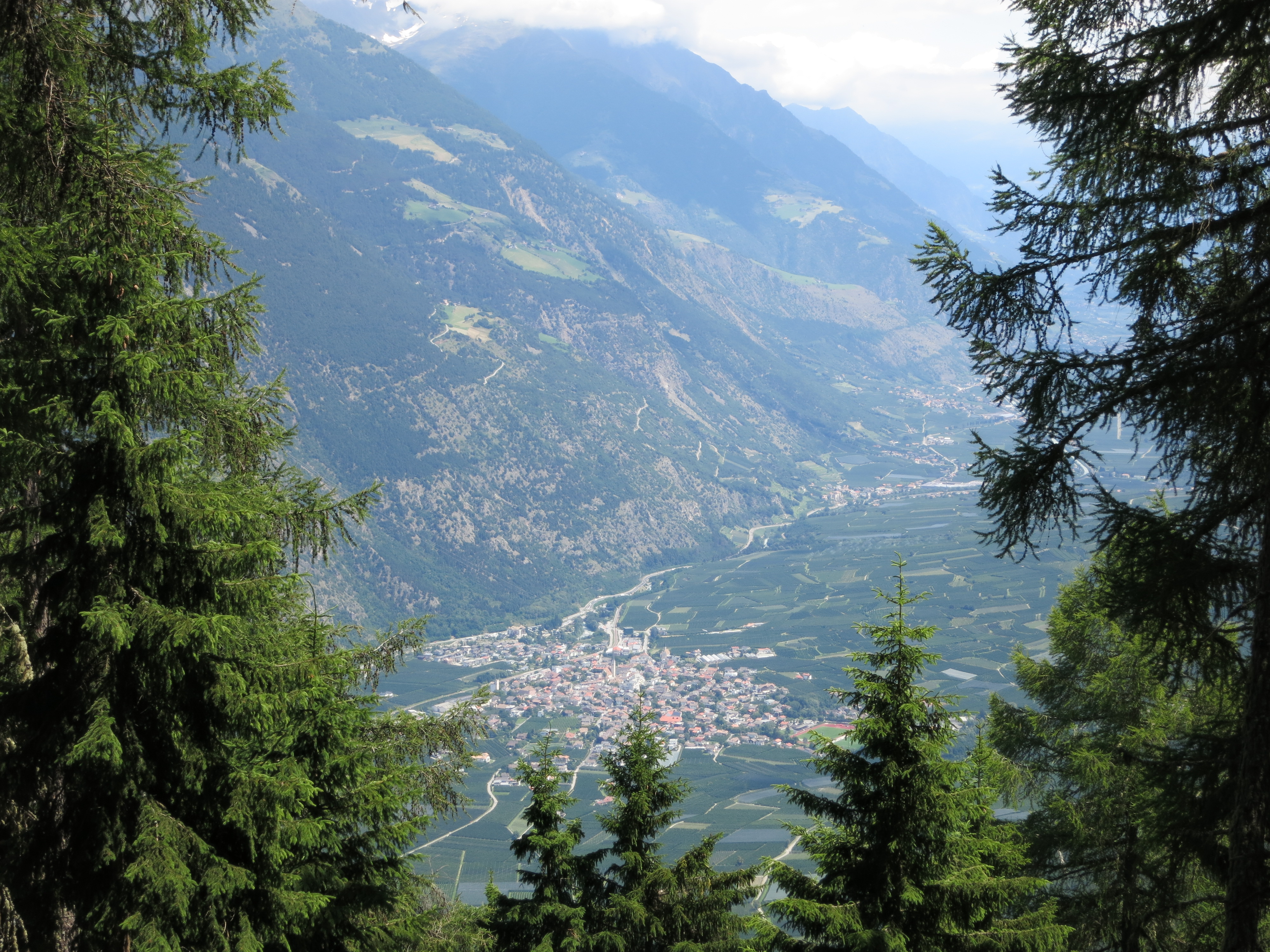
The Vinschgau in South Tirol is often described as Mountain Bike Eldorado. The special geographic situation induces favorable weather conditions with 300+ days of sunshine per year. Besides the climate there are countless trails and paths that are perfectly suited for mountain biking. The trails alongside the irrigation ditches (Waalwege) in particular are full of flow. Latsch is located centrally in the Vinschgau and is the best base to start epic single trail adventures. The cable car from Latsch up to St. Martin has recommenced to transport bikes and riders at certain times, but there are as well shuttle services, if you don’t want to climb to access the downhill trails.
As the valley stretches from west to east there is a sunny mountain side (Sonnenberg) and a shadow mountain side (Nördersberg). Both sides of the valley offer great trail riding.
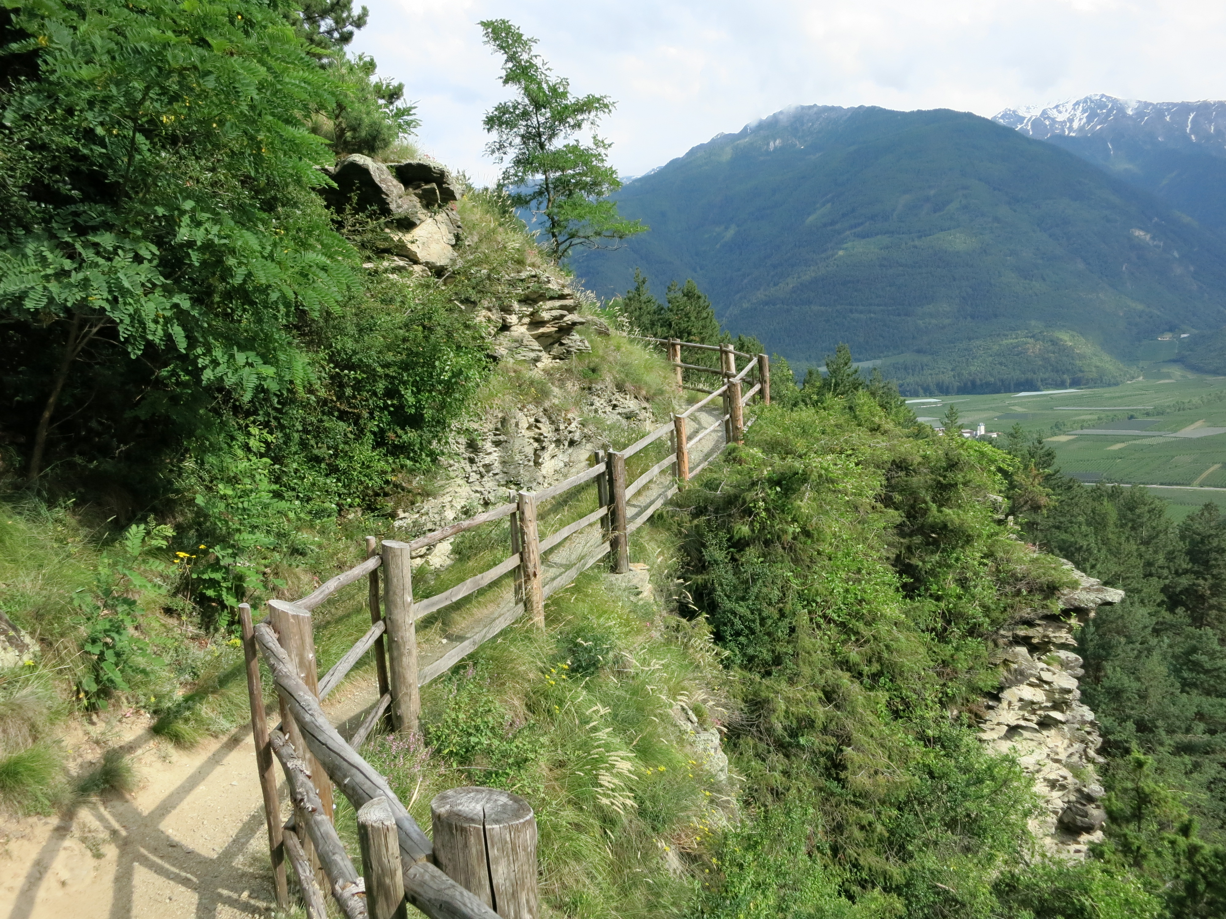
On the Sonnenberg there are several downhill options from St. Martin. The flowiest one is the Monte Sole Trail with the Sunny Benny – a shaped trail with berms, jumps, etc. The trailhead is half a mile down the road from St. Martin. After a few steeper sections and the Sunny Benny the trail runs alongside the hill from the Annaberger Böden with great views over the valley. Due to the scenery it is highly frequented by hikers. Thus the best time to ride the trail is in the late afternoon.
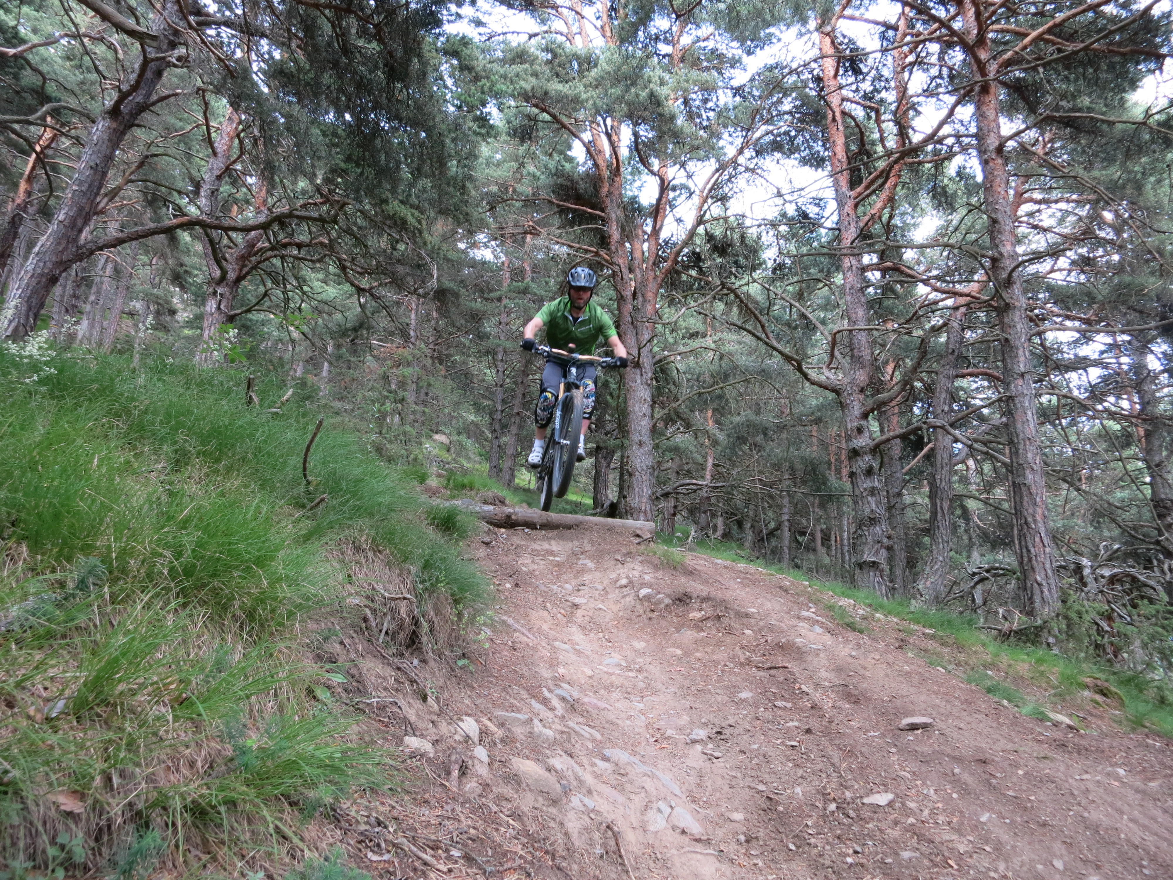
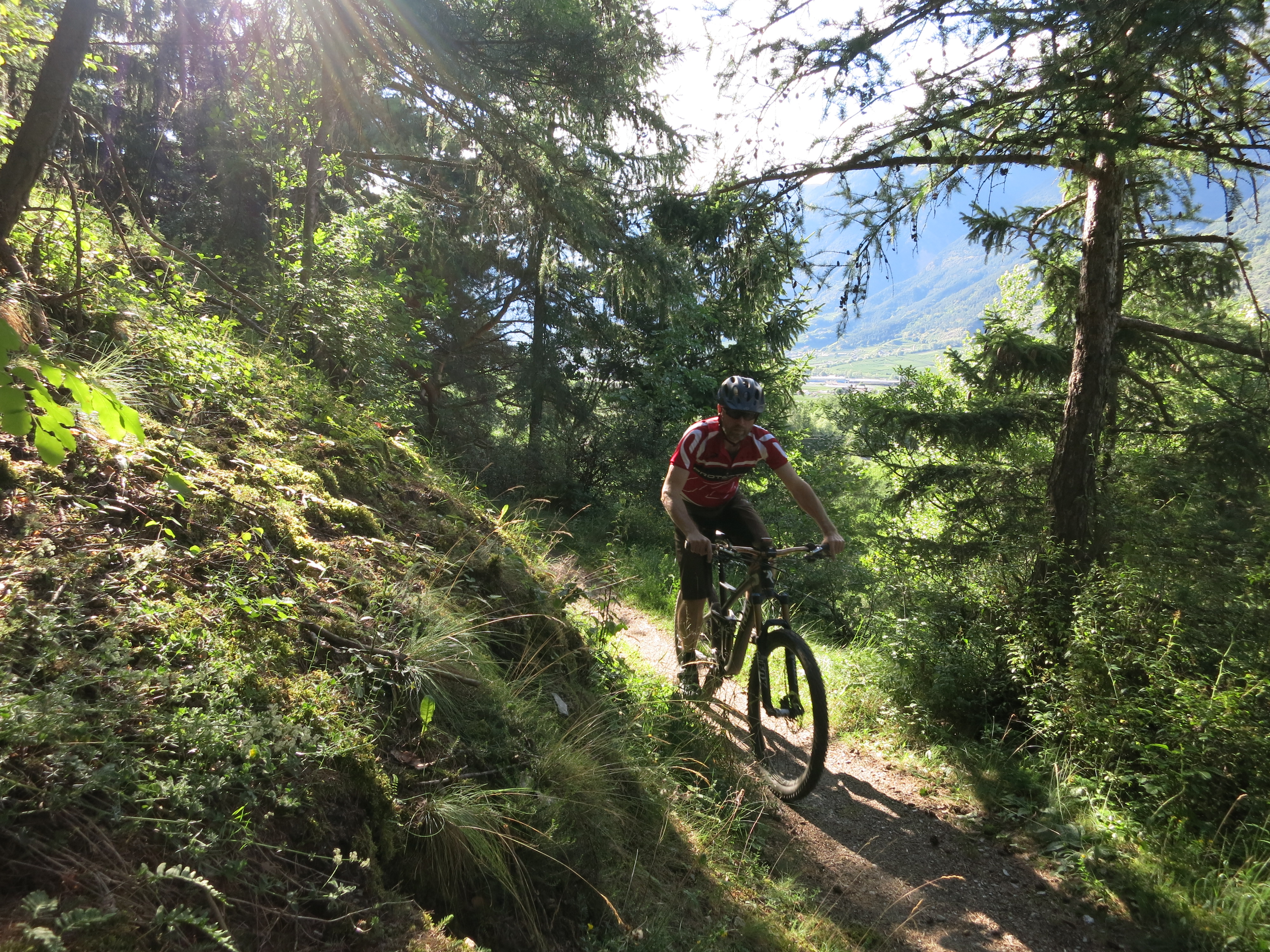
Although there is less sun on the Nördersberg side the trails there will cause a broad grin on your face. The Waalwege trails that run alongside the hill with shorter ups and downs can be nicely combined with the longer trails down from some Alms. The 3 trails on this side that you should not miss are the Holy Hansen Trail, #4 gewinnt (from Latscher Alm) and the Roatbrunn Trail.
The Holy Hansen Trail is now well marked and has been shaped as a flow trail. In order to get to the trailhead nearby the Haslhof I did a strenous 1300 m climb on a steep forrest road up the Morterer Leger. After an elevation gain of more than 800 meters the road was blocked because of lumber works, so I had to climb through the wooded hill with my bike on the back for about 100 meters to make a shortcut on the winding forest road. However, the trail later on was worth the strenous efforts…
